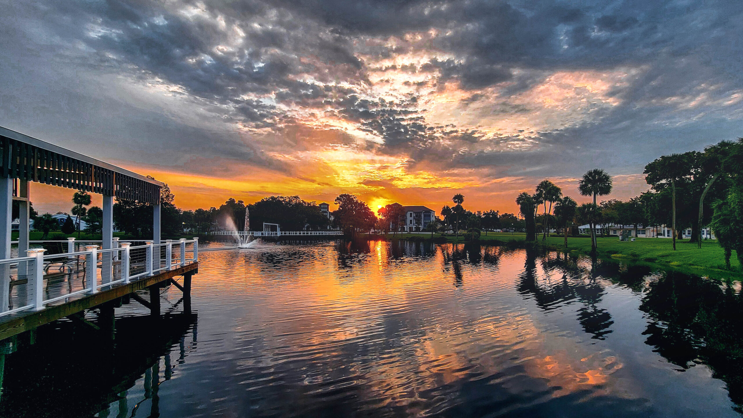
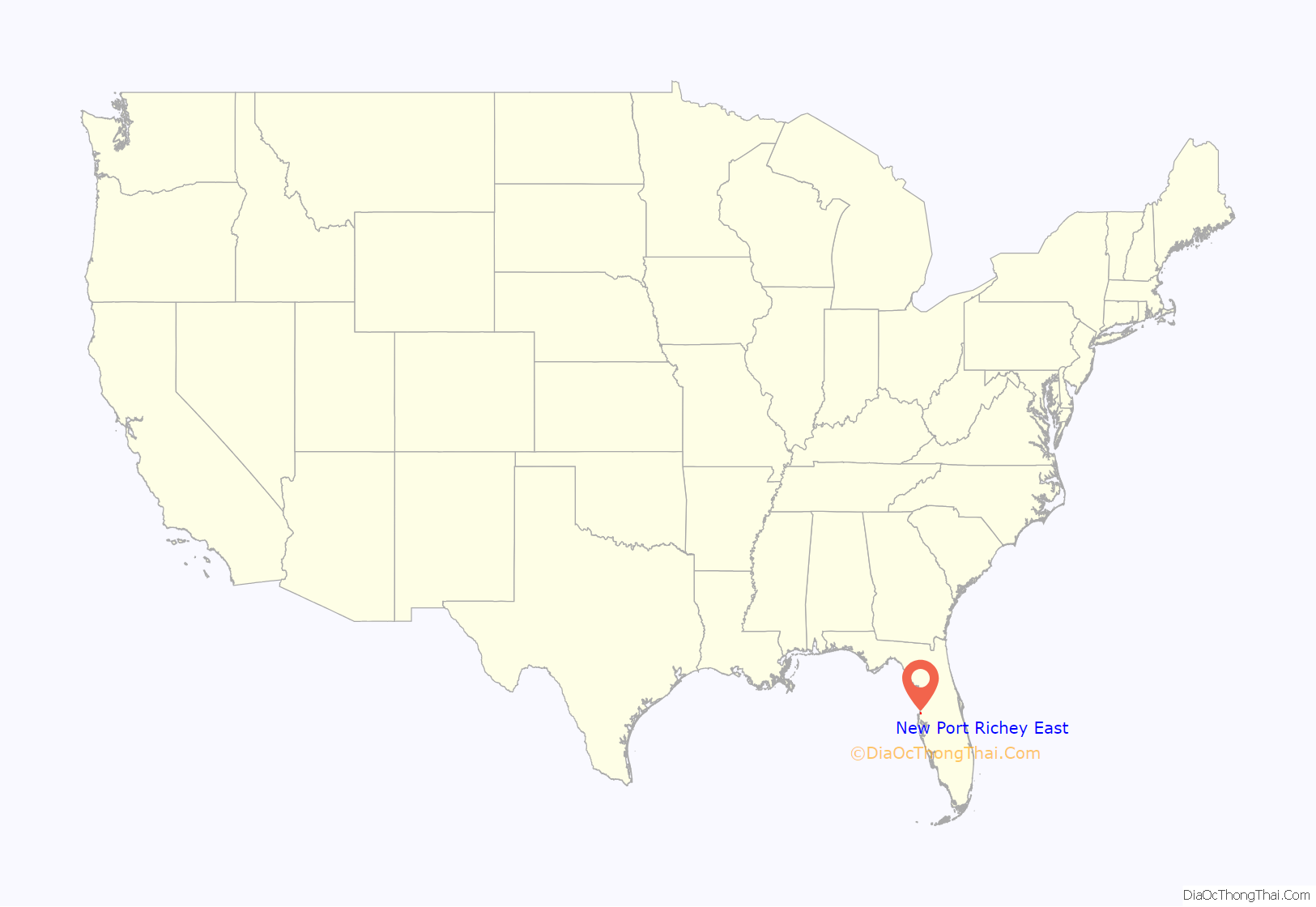
New Port Richey is situated along the Gulf Coast of Florida in the southwestern portion of Pasco County, serving as a primary coastal hub within the Tampa Bay Metropolitan Statistical Area. Positioned approximately 35 miles northwest of downtown Tampa, the city is defined by its proximity to the Pithlachascotee River, which flows through its center, and its direct access to the Gulf of Mexico, making it a distinct transition point between the suburban sprawl of the northern Tampa suburbs and the more nature-centric, low-lying coastal regions of the Florida Nature Coast.
Geographical Positioning and Regional Context
To understand the location of New Port Richey, one must first look at its placement within the Florida Peninsula. The city lies within the "Nature Coast" region, a stretch of Florida’s coastline known for its relatively slower pace of development compared to the high-density metropolitan areas further south.
Geographically, the city is bounded by the Gulf of Mexico to the west, which dictates much of its local climate and environmental policy. To the north and east, it blends into the unincorporated communities of Pasco County, while its southern border connects to the Pinellas County line. This southern boundary is particularly significant for residents and commuters, as the transition into Pinellas County marks the shift into the more densely populated urban corridor that includes Clearwater and St. Petersburg.
The city’s elevation is low, characteristic of much of the Florida Gulf Coast, with many areas sitting only a few feet above sea level. This topographical reality influences everything from local architecture—which often emphasizes stilt or elevated construction in older waterfront neighborhoods—to strict flood management ordinances governed by both city and county oversight.
Transportation Infrastructure and Connectivity
Access to New Port Richey is facilitated by a network of primary state roads that link the city to the broader regional economy. The most critical thoroughfare is U.S. Highway 19, a major north-south artery that runs directly through the city. U.S. 19 serves as the economic backbone of the area, housing the majority of the city's commercial and retail services.
For those traveling from the Tampa International Airport (TPA), which is the primary aviation hub for the region, the drive typically takes between 45 and 60 minutes depending on traffic conditions. Commuters relying on major corridors like the Suncoast Parkway (State Road 589) find a faster, albeit toll-based, route to connect with the northern portions of the Tampa Bay area, bypassing the heavy congestion often found on local arterial roads during peak hours.
Public transit in the region is managed by Pasco County Public Transportation (PCPT), which provides bus services connecting New Port Richey to adjacent municipalities. While the city is not connected to a heavy rail transit system, the proximity of the Suncoast Parkway and the ongoing expansion of regional infrastructure projects in 2026 continue to prioritize the improvement of east-west connectivity to accommodate the growing population in the surrounding suburban landscape.

The Role of the Pithlachascotee River
The identity of New Port Richey is inextricably linked to the Pithlachascotee River, locally referred to as the "Cotee River." The river serves as more than just a geographic marker; it is a vital recreational and ecological asset. Flowing from its headwaters in central Pasco County, the river winds through the heart of the city before emptying into the Gulf of Mexico at Miller's Bayou.
The presence of this river creates a distinct "downtown" experience. The historic district of New Port Richey is situated along the banks of the Cotee, where Sims Park offers a focal point for community events, festivals, and public access to the water. From an urban planning perspective, this riverfront location necessitates specific land-use considerations. The riparian zones are subject to environmental protections to maintain water quality, and the aesthetic value of the riverfront drives local tourism and property development.
Comparison of Regional Proximity
Understanding where New Port Richey fits into the regional puzzle requires comparing it to other nearby locations. The following table highlights the approximate driving distances and characteristics of neighboring areas in 2026.
| Location | Distance from New Port Richey | Primary Connection | Characterization |
|---|---|---|---|
| Tarpon Springs | 6 Miles South | U.S. 19 | Historic, Greek heritage |
| Trinity | 5 Miles East | State Road 54 | Suburban, master-planned |
| Clearwater | 20 Miles South | U.S. 19 | Urban, coastal tourism |
| Tampa | 35 Miles Southeast | SR 589 / SR 54 | Metropolitan hub |
| Weeki Wachee | 25 Miles North | U.S. 19 | Recreational, springs |
Climate and Environmental Dynamics
The climate in New Port Richey is classified as humid subtropical. Its location on the Gulf of Mexico provides a moderated temperature range compared to the interior of the state; however, the city remains susceptible to tropical weather events.
During the summer months, the area experiences high humidity and frequent thunderstorms, which are typical for the Florida peninsula. In the winter, the influence of the Gulf helps prevent hard freezes, allowing for a year-round growing season for many tropical plants. For new residents or those evaluating the location, it is important to understand that the city’s geographic placement makes it a participant in regional hurricane mitigation planning. Property owners are required to verify their specific flood zone designation, as even inland locations near the Pithlachascotee River can be subject to storm surge or heavy rain flooding.
Economic and Demographic Integration
In 2026, New Port Richey functions as a residential and service-oriented hub. While it retains a distinct municipal identity, it is economically integrated with the Tampa Bay labor market. Many residents live in New Port Richey while commuting to major employers in the healthcare, education, and professional services sectors located in Tampa or the St. Petersburg-Clearwater area.
The demographic profile of the city has evolved to include a mix of long-term retirees, who are drawn to the coastal climate and lower cost of living relative to southern Florida, and younger families seeking more affordable entry points into the housing market compared to the urban core of Tampa. This mix has spurred investment in the downtown district, where the focus has been on revitalizing historic architecture and fostering a walkable, boutique-style commercial environment.
Frequently Asked Questions
1. Is New Port Richey considered part of the Tampa suburbs?
Yes, New Port Richey is a significant part of the Tampa-St. Petersburg-Clearwater Metropolitan Statistical Area. While it maintains its own city government and independent historic character, it functions as a bedroom community for the wider region.
2. How close is New Port Richey to the nearest beach?
While the city sits on the coast, it is not primarily a beach destination. The nearest public beach, Robert K. Rees Memorial Park (Green Key Beach), is located within the city limits but is smaller than the expansive barrier island beaches found further south in Pinellas County, such as Clearwater Beach.
3. Does the Pithlachascotee River flood often?
As a river that flows into the Gulf of Mexico, the Cotee is tidal. During periods of heavy rainfall or extreme storm surge, areas in low-lying floodplains adjacent to the river can experience flooding. Residents are encouraged to consult official Federal Emergency Management Agency (FEMA) maps.
4. Is the Suncoast Parkway the best way to get to Tampa?
The Suncoast Parkway (SR 589) is generally the fastest route for reaching northern and central Tampa. For those traveling to downtown or southern Tampa, a combination of the Parkway and local surface streets or interstate connections is often required.
5. What defines the "Nature Coast" location?
The Nature Coast is a term used to describe the coastal region of Florida north of the Tampa Bay area. It is characterized by more abundant public lands, state parks, and springs compared to the highly urbanized coastal regions to the south.
Practical Next Actions for Residents and Visitors
If you are planning to visit or relocate to New Port Richey, the first step is to identify the specific section of the city you are interested in. The "downtown" area offers a different experience than the sprawling residential developments along the U.S. 19 corridor.
For those evaluating property or long-term stays, verify your location against the Pasco County Property Appraiser’s GIS mapping tools to determine specific flood zones and municipal service boundaries. Additionally, if you plan to commute, test your route during typical rush-hour periods (7:00 AM–9:00 AM and 4:00 PM–6:00 PM) to get an accurate representation of current traffic volumes on U.S. 19 and the arterial roads leading to the Suncoast Parkway.
Image Gallery
Select an image to open it in a new tab.


Vivian Cho
Executive IT and Emerging Technologies Reporter
