Automotive Geofencing: Technology, Applications, and Operational Mechanics
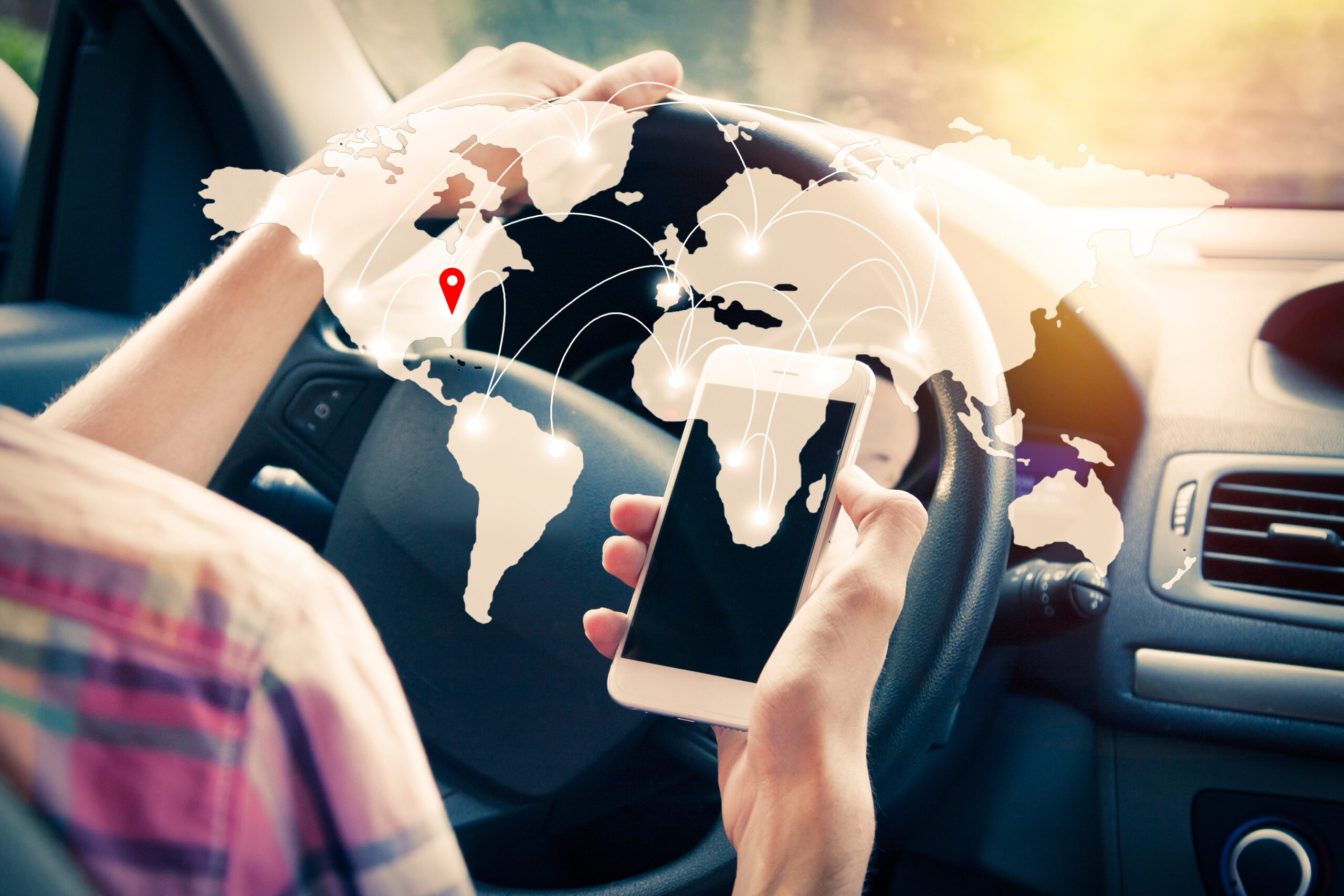
Automotive geofencing establishes virtual geographic boundaries using GPS, cellular networks, and Wi-Fi to trigger automated actions or monitor vehicle locations. This technology underpins modern fleet management, vehicle security systems, teen driver safety applications, and autonomous vehicle operational design domains by converting physical spaces into digital triggers.
Understanding Automotive Geofencing
Automotive geofencing represents a convergence of location-based services (LBS), telematics, and spatial computing adapted specifically for the constraints and requirements of moving vehicles. At its core, the technology relies on a digital perimeter defined by geographic coordinates (latitude and longitude) that form a closed polygon or radius around a specific location. When an onboard telematics unit or a connected smartphone application crosses this virtual boundary, a software platform recognizes the transition and executes predefined commands.
The architecture of an automotive geofence system generally consists of three primary components: the tracking hardware, the communication network, and the backend management software. The tracking hardware, often an OBD-II (On-Board Diagnostics) dongle, a hardwired GPS tracker, or an integrated factory telematics system, continuously samples positional data using satellite constellations such as GPS, GLONASS, or Galileo. This data is transmitted via cellular networks (4G LTE or 5G) to a cloud-based server. The backend software evaluates the coordinates against stored boundary parameters, determining whether the vehicle has entered, exited, or remained within the designated zone.
Unlike consumer-grade geofencing used in retail marketing, which prioritizes battery conservation and broad proximity alerts, automotive geofencing demands high-frequency data polling, low latency, and high spatial accuracy. Vehicles move at high speeds, meaning that a boundary crossing must be detected and processed rapidly to ensure that alerts or automated controls execute while the vehicle's context remains relevant. Furthermore, automotive systems must account for urban canyons, tunnel dropouts, and poor cellular coverage by utilizing onboard buffer memory to store location logs until connectivity is restored.
Core Components and Technical Architecture
Implementing an effective automotive geofencing system requires a synchronized ecosystem of hardware, communication protocols, and spatial databases. Understanding these technical layers helps fleet operators and developers design systems that minimize false positives and latency.
Spatial Databases and Boundary Definition
Geofences are rarely simple circles. While a radius-based fence (e.g., a three-mile circle around a depot) is easy to configure, complex environments require polygonal boundaries that hug property lines, highway corridors, or specific neighborhood blocks. These boundaries are stored in spatial databases using formats like GeoJSON or Well-Known Text (WKT). The backend server uses spatial indexing algorithms, such as R-trees, to quickly query whether a moving coordinate pair intersects with defined polygons, ensuring scalability even when tracking tens of thousands of vehicles simultaneously.
Connectivity and Telematics Hardware
The choice of hardware dictates the fidelity of the geofencing application.
- OBD-II Dongles: Plug directly into the vehicle's diagnostic port, drawing power directly and offering easy installation. They are ideal for light commercial fleets and consumer tracking.
- Hardwired Trackers: Spliced into the vehicle's electrical system, providing tamper resistance and access to additional signals like ignition status, door locks, and power take-off (PTO) units.
- OEM Factory Telematics: Built directly into modern vehicles by manufacturers, pulling high-resolution data straight from the vehicle's internal CAN (Controller Area Network) bus without requiring aftermarket hardware.
Trigger Logic and Event Processing
Once a boundary event is detected, the system executes event-driven logic. This logic can be stateless (e.g., simply recording that a vehicle crossed a line at 2:15 PM) or stateful (e.g., tracking how long a vehicle has remained stationary inside a delivery yard). Modern cloud architectures utilize event stream processing platforms, such as Apache Kafka or AWS Lambda, to ingest location pings, evaluate geofence rules in real time, and dispatch notifications via SMS, email, or API webhooks.

Primary Use Cases Across Sectors
Automotive geofencing serves diverse markets, each applying the technology to solve distinct logistical, safety, or security challenges.
Commercial Fleet Management
In commercial logistics and service fleets, geofencing is an indispensable tool for operational efficiency and route compliance. Fleets use virtual boundaries to automate time-tracking and yard management. When a delivery truck enters a distribution center's geofenced perimeter, the system logs the arrival time, notifies warehouse staff, and updates shipping manifests without requiring manual driver input.
Additionally, geofencing enforces route adherence. If a long-haul truck deviates from a designated corridor between two waypoints, the system triggers an alert for dispatchers. This mitigates unauthorized detours, reduces fuel consumption, and enhances cargo security.
Vehicle Security and Recovery
Stolen vehicle recovery (SVR) systems leverage geofencing as an early-warning mechanism. Owners or fleet managers can set a "curfew" or perimeter around a parked vehicle—such as a home driveway or commercial lot—known as a valet or storage fence. If the vehicle moves outside this zone without an authorized ignition sequence or key fob present, the system immediately dispatches an alert and can remotely immobilize the vehicle or track its velocity in real time for law enforcement.
Consumer Safety and Teen Driving
Parents utilize automotive geofencing apps connected to vehicle telematics or smartphones to monitor novice drivers. Common configurations include setting boundaries around schools, extracurricular activities, or home, with alerts sent if the vehicle travels outside approved municipal zones or enters restricted areas late at night. Some advanced consumer systems also pair geofences with speed thresholds, notifying parents if a vehicle exceeds local speed limits upon entering a specific zone, such as a school district.
Autonomous Vehicles and ADAS
For autonomous and semi-autonomous vehicles (Advanced Driver Assistance Systems), geofencing defines the Operational Design Domain (ODD). Self-driving shuttles, delivery robots, and robotaxis rely on high-definition geofences to determine where autonomous driving features are legally and technically permitted to engage. If a vehicle approaches the edge of its mapped geofenced zone, the system prompts the human driver to take over or gracefully transitions to a safe stop.
Comparison of Automotive Geofencing Implementations
| Implementation Type | Primary Hardware | Typical Latency | Key Use Case | Limitations |
|---|---|---|---|---|
| Consumer Smartphone | Smartphone GPS / App | Medium (10–30s) | Family tracking, teen driving alerts | Dependent on phone battery and app background permissions |
| OBD-II Aftermarket | Plug-in Telematics Device | Low to Medium (5–15s) | Small business fleet tracking, security | Vulnerable to physical removal or tampering |
| Hardwired Telematics | Permanently Installed Unit | Low (1–5s) | Heavy commercial fleets, logistics | Requires professional installation; higher upfront cost |
| OEM Factory Integration | Embedded Vehicle Modems | Real-time (<1s) | Autonomous vehicles, luxury security, high-end fleets | Restricted to specific vehicle brands; closed ecosystem |
Operational Challenges and Limitations
Despite its versatility, automotive geofencing is subject to physical, technological, and regulatory constraints that practitioners must navigate during deployment.
GPS Drift and Urban Canyons
Urban environments present significant challenges for location accuracy. Tall skyscrapers, narrow streets, and dense foliage reflect GPS signals, causing a phenomenon known as multipath interference. This can lead to "GPS drift," where a stationary vehicle appears on the monitoring map to be bouncing across adjacent streets or drifting in and out of a geofenced zone.
To combat false triggers caused by GPS drift, developers implement buffer zones and dwell-time thresholds. A buffer zone requires a vehicle to penetrate a certain distance past the physical boundary before an event is confirmed, while a dwell-time requirement dictates that the vehicle must remain inside the zone for a minimum duration (e.g., two minutes) before an arrival event is logged.
Privacy and Regulatory Compliance
The continuous tracking of vehicles raises complex privacy considerations, particularly in commercial fleets where employee monitoring laws apply, and in consumer applications subject to data protection regulations like the European Union's General Data Protection Regulation (GDPR) or state-level privacy acts in the United States. Fleet operators must transparently communicate tracking policies to drivers, ensuring that geofencing is used strictly for legitimate business or safety purposes and that location data is securely stored and purged when no longer necessary.
Connectivity Dropouts
Vehicles frequently travel through rural areas, underground garages, or mountainous terrain lacking cellular infrastructure. When connectivity is lost, real-time geofence evaluation ceases on the cloud server. Mitigating this requires edge-computing capabilities within the telematics device, allowing the hardware to store geofence polygons locally and log boundary-crossing events offline, syncing the data back to the central server once cellular connectivity is re-established.
Best Practices for Deployment and Configuration
Maximizing the effectiveness of automotive geofencing requires careful planning during the setup and configuration phases of a telematics project.
- Size Boundaries Appropriately: Avoid setting overly tight geofences around large facilities. A polygon should encompass the entire property, including parking lots and loading bays, to account for GPS inaccuracy and prevent boundary-edge flapping.
- Implement Dwell-Time Rules: For arrival and departure tracking, set minimum time thresholds to eliminate false triggers caused by vehicles temporarily pausing at traffic lights or dropping off passengers near a boundary line.
- Combine Triggers with Context: Pair geofence events with secondary vehicle telemetry—such as ignition status, door openings, or transmission gear—to verify the true operational state of the vehicle upon entering or leaving a zone.
- Regularly Audit and Update Zones: Facilities expand, routes change, and delivery yards are reconfigured. Establish a quarterly review cycle to update spatial database polygons and prune obsolete geofences.
Frequently Asked Questions
What is the difference between consumer geofencing and automotive geofencing?
Consumer geofencing typically runs on mobile apps using smartphone GPS, prioritizing battery efficiency and broad proximity alerts for retail or social sharing. Automotive geofencing relies on dedicated vehicle hardware (OBD-II, hardwired units, or OEM modems) that process high-frequency location data, handle high speeds, and integrate directly with vehicle diagnostic systems for logistics and security.
How do systems handle vehicles losing GPS signal inside tunnels or garages?
When a vehicle loses GPS signal, advanced telematics units rely on onboard memory to store location logs and dead reckoning algorithms (using internal accelerometers and gyroscopes) to estimate movement. Geofence evaluation pauses for real-time alerts until the signal is restored, at which point offline boundary-crossing events are uploaded to the server.
Can geofences prevent a vehicle from being stolen?
Geofences alone do not physically stop a vehicle, but they act as an early-warning system. When a vehicle crosses a security geofence without authorization, the system can immediately notify the owner, track its movement, and, in many cases, interface with a relay to disable the starter motor or safely immobilize the vehicle once it slows down.
What causes false alarms in fleet geofencing?
False alarms are most commonly caused by GPS drift in urban canyons, where satellite signal reflection makes a vehicle appear to jump across a boundary line. They can also occur when geofences are drawn too tightly around a facility without accounting for entrance driveways or adjacent public roads.
Recommended Next Actions
To implement an automotive geofencing solution successfully, begin by auditing your specific operational requirements—whether managing a commercial fleet, securing personal assets, or developing an autonomous transport system. Evaluate hardware options based on installation complexity and data granularity needs, select a scalable telematics platform with robust spatial database support, and design your initial geofences with adequate buffer zones to ensure high reliability and minimal false alerts.
Image Gallery
Select an image to open it in a new tab.



Zara El-Hashem
Sociocultural Dynamics and Academics Writer
