Navigating the Great Lakes Connection in Detroit, Michigan: Geography, Access, and Economic Impact
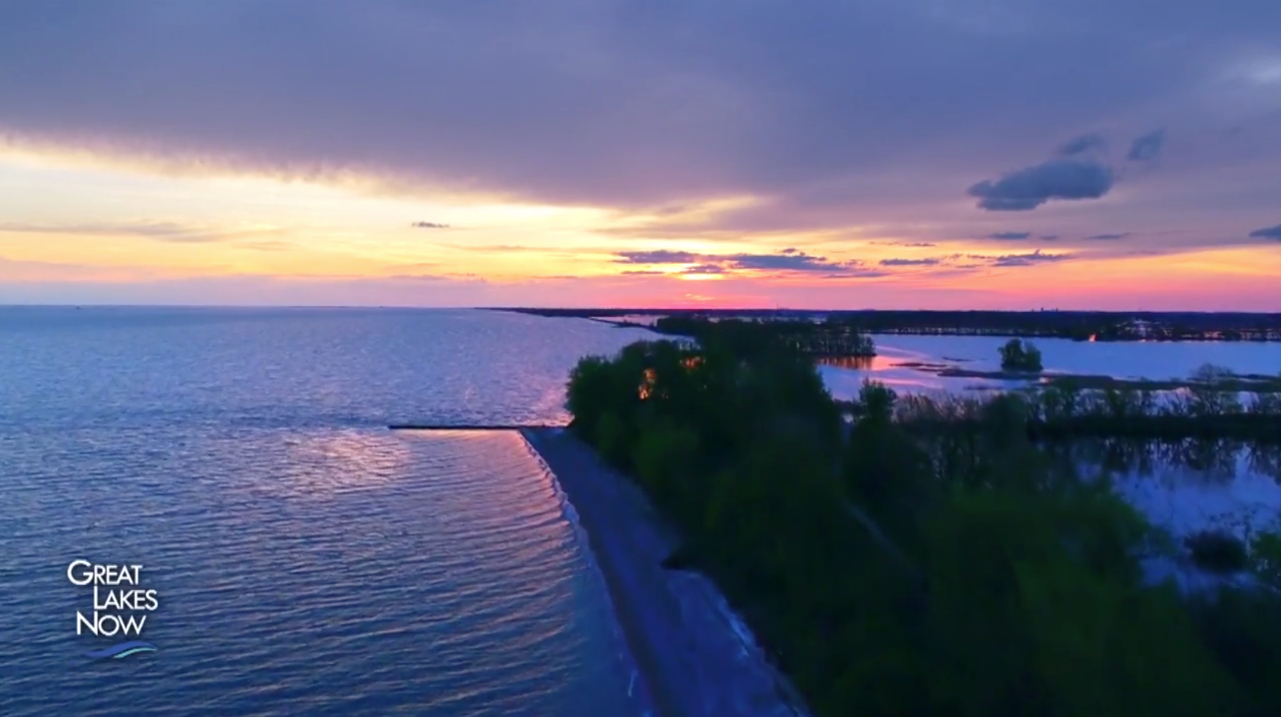
Detroit’s identity is inextricably linked to the Great Lakes system, serving as a vital maritime corridor connecting Lake Huron and Lake St. Clair to Lake Erie via the Detroit River. This strategic waterway underpins the region's shipping commerce, recreational boating culture, municipal water supply, and heavy industrial base while defining the unique hydrological ecosystem of Southeast Michigan.
Geographical Context: Where Detroit Meets the Great Lakes Basin
To understand Detroit's relationship with the Great Lakes, one must examine its position within the lower Laurentian Great Lakes basin. While Detroit is not situated directly on the shoreline of one of the five primary Great Lakes (Superior, Michigan, Huron, Erie, and Ontario), it sits squarely on the Detroit River, a 24-mile-long strait that forms part of the international boundary between the United States and Canada.
The St. Lawrence Seaway and Lake Huron-Erie Corridor
The Detroit River functions as the central link in the Great Lakes Waterway, allowing commercial bulk freighters and international vessels to transit between the upper Great Lakes (Huron, Michigan, and Superior) and the lower lakes (Erie and Ontario) before reaching the Atlantic Ocean via the St. Lawrence Seaway.
- Lake St. Clair: Located just upstream (north) of Detroit, Lake St. Clair feeds into the Detroit River. It is a shallow, biologically rich lake connected to Lake Huron by the St. Clair River.
- The Detroit River: Flowing south-southwest from Lake St. Clair into Lake Erie, the river drops about three feet in elevation over its course, creating steady currents that historically aided industrial processing and waste dispersion—practices that have since come under strict modern environmental regulation.
- Lake Erie: The terminus of the Detroit River, Lake Erie lies just south of the metropolitan area, providing shallow, warm waters that support major commercial fisheries and recreational hubs.
Maritime Commerce and Shipping Industry
The Detroit River is one of the busiest commercial waterways in North America. The shipping channels maintained by the U.S. Army Corps of Engineers allow thousand-foot-long freighters (known locally as lake freighters or "lakers," as well as ocean-going "salties") to transport raw materials directly to industrial facilities in Michigan, Ohio, and Ontario.
Key Commodities Transported
The economic vitality of the Great Lakes shipping network relies on the continuous movement of bulk cargo. Because rail and highway transport cannot economically match the tonnage capacity of bulk freighters, the Detroit sector handles massive volumes of raw materials:
- Iron Ore: Shipped from the mines of Minnesota and Michigan’s Upper Peninsula down through Lake Huron and the Detroit River to blast furnaces in the Midwest.
- Coal: Transported to power generation facilities and industrial plants throughout the region.
- Limestone: Crucial for regional construction and steel manufacturing, quarried heavily in Northern Michigan and transported via lakers.
- Agri-bulk: Wheat, corn, and soy harvested in the Midwest move through the system for domestic processing or international export.
Navigational Maintenance and Dredging
To accommodate deep-draft commercial vessels, the shipping lanes along the Detroit River and Lake St. Clair require constant monitoring and periodic maintenance dredging. The U.S. Army Corps of Engineers Detroit District manages these channels, ensuring that water levels and channel depths comply with international treaties enforced by the International Joint Commission (IJC), which regulates boundary waters between the U.S. and Canada.
| Waterway Segment | Primary Role | Managing Agency / Authority | Average Depth / Constraints |
|---|---|---|---|
| Detroit River | Commercial shipping, binational border, municipal water source | U.S. Army Corps of Engineers / USCG Sector Detroit | Maintained channels typically 27+ feet deep |
| Lake St. Clair | Recreational boating, shallow transition zone between St. Clair & Detroit Rivers | State of Michigan / Ontario Ministry of Natural Resources | Average depth 10 feet; heavily buoyed channels |
| Rouge River | Heavy industrial tributary entering the Detroit River | U.S. Army Corps of Engineers | Maintained industrial slip depths up to 21–27 feet |
Environmental Stewardship, Restoration, and Regulation
The industrial legacy of Detroit left a significant environmental imprint on its waterways. Throughout the 20th century, heavy manufacturing, automotive production, and municipal wastewater runoff degraded water quality in the Detroit River and surrounding Great Lakes connecting channels.
The Great Lakes Water Quality Agreement
Efforts to restore and protect the ecosystem are guided by the binational Great Lakes Water Quality Agreement (GLWQA) between the United States and Canada. Under this framework, the Detroit River has been designated as a Great Lakes Area of Concern (AOC) due to historical contamination by polychlorinated biphenyls (PCBs), heavy metals, and persistent toxic substances.
Remediation and Habitat Recovery
Over the past three decades, coordinated efforts by the U.S. Environmental Protection Agency (EPA), the Michigan Department of Environment, Great Lakes, and Energy (EGLE), and Canadian partners have achieved notable milestones:
- Remedial Action Plans (RAP): Targeted cleanup of contaminated sediment hotspots along the Detroit and Rouge rivers.
- Habitat Restoration: Construction of artificial reefs in the Detroit River to support native fish spawning, particularly for lake sturgeon and whitefish.
- Combined Sewer Overflow (CSO) Control: Multi-billion-dollar investments by the Detroit Water and Organizational Department (DWSD) and the Great Lakes Water Authority (GLWA) to capture and treat stormwater runoff, drastically reducing untreated sewage discharges into the river during heavy precipitation events.
Recreational Access and Tourism along the Detroit Waterfront
Beyond heavy industry and commercial shipping, the Detroit waterfront along the Great Lakes connecting waters has undergone a dramatic transformation into a vibrant recreational corridor.
The Detroit RiverWalk and Public Parks
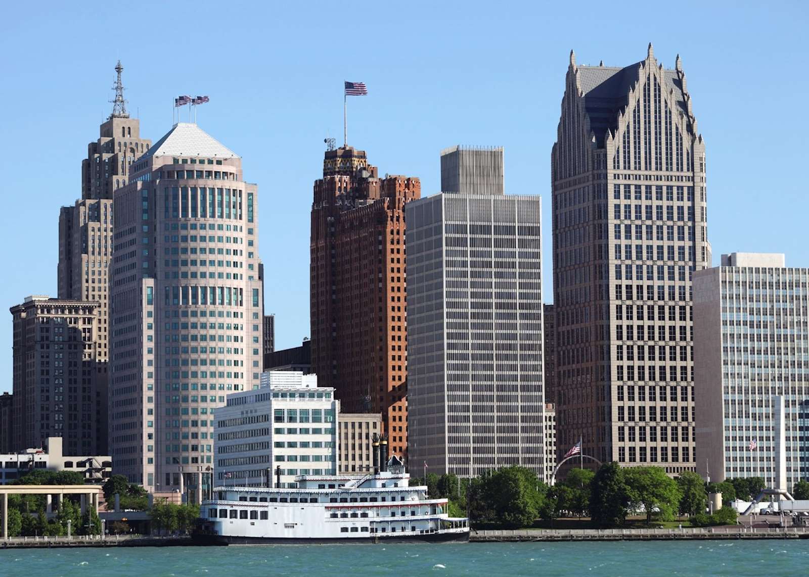
The centerpiece of public access is the Detroit RiverWalk, managed by the Detroit Riverfront Conservancy. Stretching for several miles along the downtown and east-side waterfront, the RiverWalk provides pedestrian paths, green spaces, public art, and recreational pavilions.
- Hart Plaza: Located at the foot of Woodward Avenue, this civic space hosts major summer festivals and marks the historical landing site of Antoine de la Mothe Cadillac, who founded Detroit in 1701.
- Belle Isle Park: Situated in the middle of the Detroit River, Belle Isle is a 985-acre island park designed by renowned landscape architect Frederick Law Olmsted. It features the Dossin Great Lakes Museum, the Anna Scripps Whitcomb Conservatory, an aquarium, and extensive shoreline access for fishing and picnicking.
Boating and Angling Culture
Sailing and powerboating are deeply ingrained in Southeast Michigan culture. Lake St. Clair, situated just north of Detroit, is internationally recognized as a premier sportfishing and recreational boating destination, frequently hosting professional bass fishing tournaments. Anglers target muskellunge, smallmouth bass, yellow perch, and walleye, supported by strict catch limits and conservation programs overseen by the Michigan Department of Natural Resources (DNR).
Municipal Water Infrastructure
The Great Lakes system is the literal lifeline for millions of residents in Southeast Michigan, providing raw drinking water through the Great Lakes Water Authority (GLWA).
- Intake Sources: Water is drawn from deep, stable points in the Detroit River and Lake Huron via offshore cribs and subterranean tunnels.
- Treatment Facilities: Advanced regional water treatment plants process billions of gallons daily, serving Detroit and dozens of surrounding suburban communities.
- Distribution Network: Maintaining this vast network requires continuous infrastructure investments to prevent line breaks, manage pressure zones, and ensure compliance with the Safe Drinking Water Act enforced by federal and state regulators.
Frequently Asked Questions
Is Detroit located directly on one of the Great Lakes?
No. Detroit is located on the Detroit River, which is a vital strait connecting Lake Huron and Lake St. Clair to the north with Lake Erie to the south. It is part of the broader Great Lakes basin and waterway system.
How deep is the Detroit River for shipping?
Commercial shipping channels in the Detroit River are actively maintained by the U.S. Army Corps of Engineers to a standard depth of at least 27 feet, allowing passage for large lake freighters and international ocean-going vessels.
What is the purpose of the Detroit Riverfront Conservancy?
The Detroit Riverfront Conservancy is a nonprofit organization dedicated to transforming the Detroit riverfront into an accessible, world-class gathering place for the public, developing amenities like the Detroit RiverWalk and connecting public parks.
Can you fish in the Detroit River?
Yes, the Detroit River supports a thriving sportfishing industry. Anglers catch walleye, smallmouth bass, muskellunge, and perch. State health advisories provide specific consumption guidelines regarding certain fish species due to legacy industrial contaminants.
Where does Detroit get its drinking water?
Detroit's municipal water is sourced directly from the Great Lakes system—primarily the Detroit River and Lake Huron—and is treated and distributed by the Great Lakes Water Authority (GLWA) to millions of residential and commercial customers across the region.
Next Actions for Visitors and Researchers
- Explore Public Access: Review trail maps and event schedules provided by the Detroit Riverfront Conservancy before visiting the RiverWalk or Belle Isle.
- Check Fishing Regulations: Consult the annual Michigan Fishing Guide published by the DNR for current licensing requirements, seasonal restrictions, and safe consumption advisories.
- Monitor Maritime Traffic: Utilize public vessel-tracking platforms such as MarineTraffic to view real-time movements of commercial lakers transiting the Detroit River shipping channels.
Image Gallery
Select an image to open it in a new tab.


Declan O'Connor
Higher Education and Campus Culture Reporter
