Understanding the Structure and Format of a UK Postcode
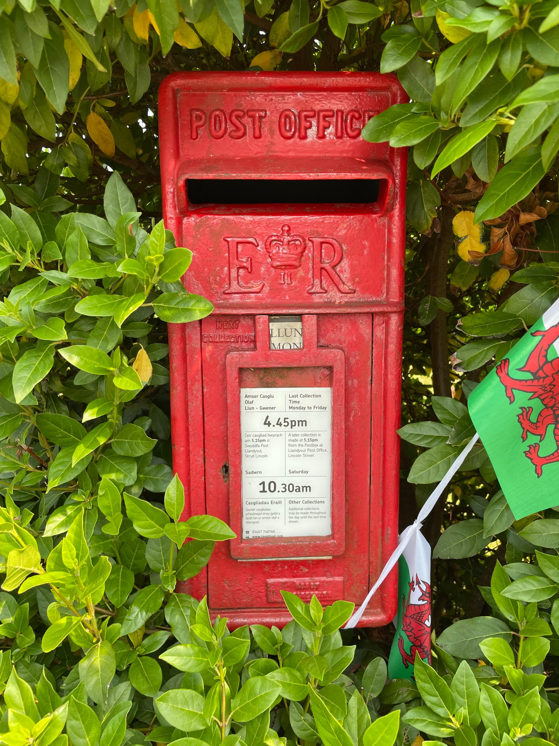
A UK postcode is an alphanumeric code, typically consisting of five to seven characters divided into two parts by a single space. The first part, the Outward Code, indicates the area and district, while the second part, the Inward Code, identifies the specific sector and delivery point, ensuring precise routing for mail and navigation systems.
The United Kingdom postcode system is a sophisticated piece of geographical infrastructure designed to optimize the efficiency of the Royal Mail and modern logistics. Far from being a random string of letters and numbers, every character within a UK postcode provides specific data about the location it represents. Understanding how these codes are structured is essential for anyone dealing with shipping, property registration, utility billing, or navigating the British Isles.
The Anatomy of a UK Postcode
To understand a UK postcode, one must break it down into its two primary components: the Outward Code and the Inward Code.
1. The Outward Code (The First Part)
The Outward Code is the sequence of characters before the space. It ranges from two to four characters in length. This section is further subdivided:
- Area: The one or two letters at the beginning of the postcode represent the Postcode Area. These are usually based on a major town or city name (e.g., 'SW' for South West London, 'BS' for Bristol, or 'LS' for Leeds).
- District: Following the letters are one or two digits (sometimes followed by a letter in rare cases). This specifies the Postcode District within the area.
The Outward Code allows the mail sorting system to route items to the appropriate local sorting office before they are sent to the final delivery round.
2. The Inward Code (The Second Part)
The Inward Code is the sequence of characters after the space. It is always three characters long (a digit followed by two letters). This part is crucial for automated sorting:
- Sector: The single digit represents the Postcode Sector.
- Unit: The final two letters represent the Postcode Unit. This unit identifies a specific group of addresses, such as a street, part of a street, a large building, or a single business that receives high volumes of mail.
Decoding the Pattern: Technical Specifications
UK postcodes generally adhere to one of the following six defined formats. In these patterns, 'A' represents an alphabetic character and 'N' represents a numeric character:
- AN NAA: (e.g., M1 1AA) – Used for very central, high-density areas.
- ANN NAA: (e.g., M60 1NW) – Common in major urban centers.
- AAN NAA: (e.g., SW1A 1AA) – Standard for many London districts.
- AANN NAA: (e.g., DN55 1PT) – Used for specific administrative purposes.
- ANA NAA: (e.g., W1A 0AX) – Often used for specialized central London addresses.
- AANA NAA: (e.g., EC1A 1BB) – Common in the City of London.
A critical rule in the structure of the Inward Code is that it never contains the letters C, I, K, M, O, or V. This restriction prevents visual confusion between letters and digits during high-speed automated optical character recognition (OCR) by sorting machines.
Comparison of Postcode Structures
The following table illustrates the variance in postcode formatting across different types of locations:
| Format Type | Example | Usage / Context |
|---|---|---|
| Simple Urban | M1 1AA | Central Manchester area |
| Standard Urban | B16 8ER | Typical Birmingham street address |
| London District | SW1A 1AA | Specific administrative or royal address |
| Extended Numeric | DN55 1PT | Specialized distribution or large user codes |
| Peripheral Area | AB10 1AB | Aberdeen city center area |
The Role of the Postcode Address File (PAF)
While the format of a postcode provides geographical context, the actual link between a specific address and its postcode is managed via the Postcode Address File (PAF). Maintained by the Royal Mail, this is the definitive database of all mailing addresses in the United Kingdom.
If you are developing a digital service, an e-commerce platform, or a logistics tool in 2026, you will rely on the PAF to validate user input. When a user enters their postcode, your system should cross-reference the input against the PAF to ensure the address is formatted correctly and exists within the official database. Many businesses use third-party APIs that "ping" the PAF to offer address auto-complete features, which significantly reduces shipping errors and customer data entry mistakes.
Practical Applications and Why Precision Matters
For residents, the postcode is a utility for mail delivery. However, for businesses and public services, the postcode is a fundamental unit of spatial data.
- Logistics and Delivery: Courier services use the Inward Code to sort packages into specific "delivery loops." If a postcode is incorrect, a parcel may be misdirected to the wrong sorting hub, delaying delivery by 24 to 48 hours.
- Insurance and Risk Assessment: Providers frequently use postcodes to calculate premiums. Since postcodes can correlate with localized flood risk, crime rates, or traffic accident frequency, your postcode often determines the cost of your home or car insurance.
- Governance and Election Boundaries: Postcodes are mapped to electoral wards, helping citizens identify their local representatives and polling stations.
- Healthcare Allocation: The National Health Service (NHS) uses postcode data to register patients with local General Practitioners (GPs) and to manage catchment areas for primary care.
Troubleshooting Common Postcode Issues
"The Postcode is Not Recognized"
If a web form tells you that your postcode is invalid, first double-check for simple typos. Common mistakes include confusing the letter 'O' with the number '0', or the letter 'I' with the number '1'. If the postcode is definitely correct but the website rejects it, the website's address database might be outdated. In this scenario, check if the site offers an option to "enter address manually."
"New Developments and Postcode Assignment"
When a new housing development is built, the developer must apply to the local authority for official street names and house numbers. Once approved, the Royal Mail assigns a new postcode. There is often a lag of several weeks or even months between a building being completed and its postcode being updated in commercial databases. If you have recently moved into a new build, you may encounter temporary issues where utility providers or delivery services cannot find your address in their lookup tools.
Using Postcodes for Navigation
While postcodes are essential for mail, they are occasionally imprecise for GPS navigation. A single postcode can cover a large area or a single large building with multiple entrances. In rural areas, a postcode may cover a very large geographical radius. For mission-critical deliveries or emergencies, always combine the postcode with a specific house name or number.
Frequently Asked Questions
1. Is the space in the middle of a postcode mandatory? While you may see postcodes written without a space (e.g., SW1A1AA) on some older databases, the official format strictly requires a space to separate the Outward and Inward codes. This space is vital for human readability and for computer systems to parse the code correctly.
2. Can a postcode change? Yes, but it is rare. The Royal Mail may change a postcode due to operational changes in delivery routes or if the existing structure is exhausted. If a postcode is changed, the Royal Mail typically notifies residents well in advance via postal correspondence.
3. Why do some buildings have their own unique postcode? Large organizations, such as government departments, hospitals, or major corporate headquarters, often receive such high volumes of mail that they are assigned their own "Large User" postcode. This allows the Royal Mail to bypass standard sorting and deliver mail directly to that entity.
4. Does the UK use a zip code system? "Zip code" is the term used in the United States. In the United Kingdom, the correct term is "postcode." While they serve the same function, their formats are entirely different. An American ZIP code is strictly numeric, while a UK postcode is alphanumeric.
5. How do I find the correct postcode for an address? The most reliable source is the official Royal Mail "Find a Postcode" tool available online. Avoid using unofficial or third-party websites if you require the absolute latest data, as these sites may not update their records as frequently as the Royal Mail.
Final Recommendation
To ensure your mail arrives on time and your digital forms are accepted, always enter your postcode exactly as provided by the Royal Mail. If you are a business owner, integrate an address validation tool that utilizes the official Postcode Address File to maintain data hygiene and reduce shipping failures. When searching for a postcode, bookmark the official Royal Mail lookup service to ensure you are always working with the most accurate and current spatial data available in 2026.

Image Gallery
Select an image to open it in a new tab.
Mateo Castillo
Decentralized Finance and E-Payments Strategist
