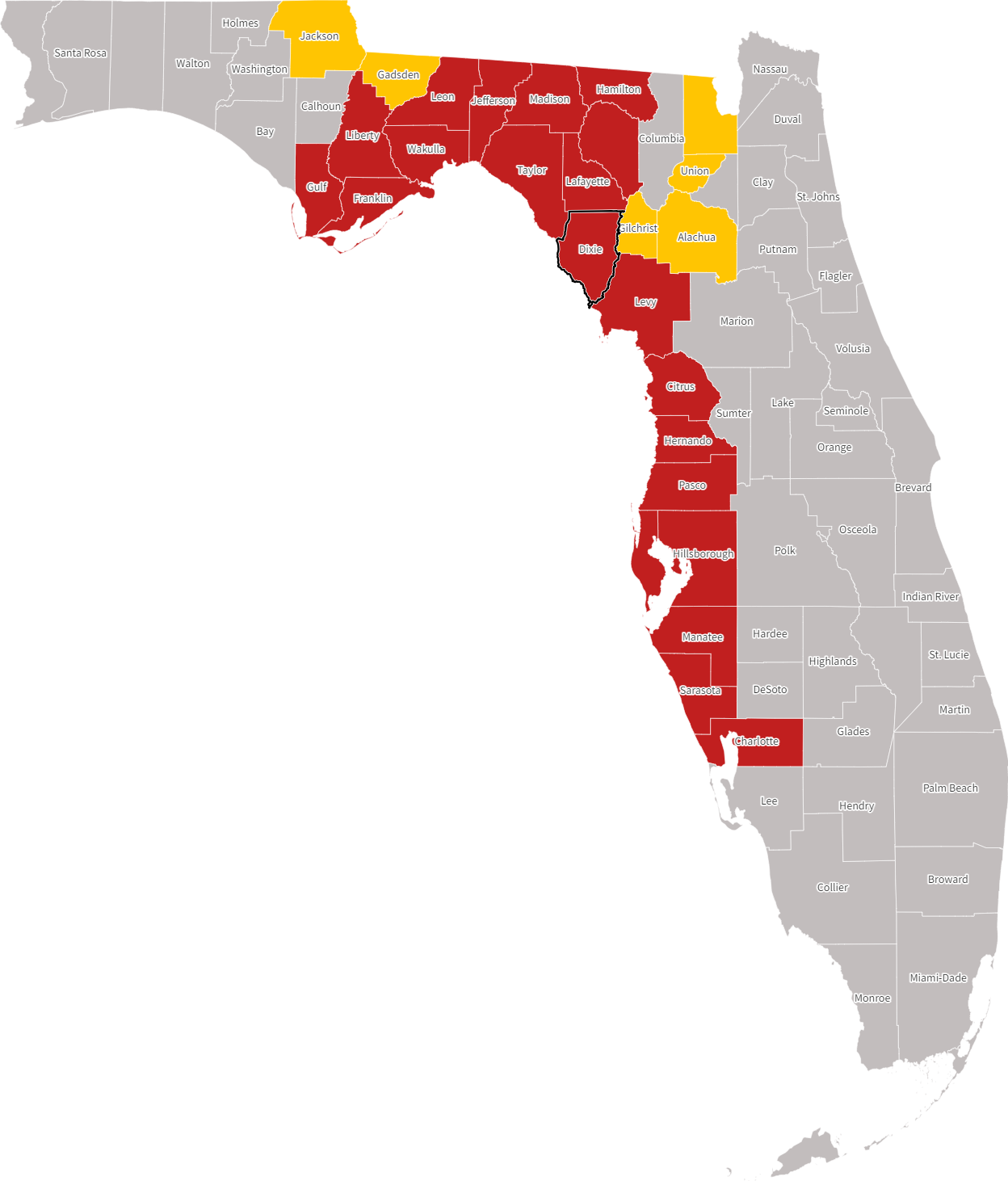
Manatee County evacuation zones are designated areas based on their vulnerability to storm surge from the Gulf of Mexico and surrounding waterways. These zones, labeled A through E, dictate the order and necessity of evacuations during tropical storms or hurricanes. Residents must identify their specific zone to follow emergency mandates and ensure life safety.
The Foundation of Manatee County’s Evacuation Strategy
Evacuation zones in Manatee County are not arbitrary lines on a map; they are the result of sophisticated meteorological modeling and topographical analysis. As we navigate the 2026 hurricane season, the county continues to rely on the Sea, Lake, and Overland Surges from Hurricanes (SLOSH) model, developed by the National Hurricane Center (NHC). This model simulates thousands of potential hurricane landfalls, accounting for varying intensities, forward speeds, and angles of approach.
The primary goal of these zones is to protect residents from storm surge—the life-threatening rise in water levels pushed inland by a storm’s winds. Unlike wind damage, which can often be mitigated by staying in a well-built structure, storm surge is a force that few residential buildings can withstand if they are in the direct path of a major inundation. In Manatee County, the low-lying geography and proximity to the Gulf, Sarasota Bay, and the Manatee River make this modeling essential for survival.
The zones are refined periodically as new LIDAR (Light Detection and Ranging) data provides more precise elevation measurements and as the NHC updates its surge projections. It is a common misconception that these zones change every year based on previous weather; in reality, they change only when the underlying data regarding the land’s elevation or the water’s behavior changes significantly.
Decoding the Alphabet: Zone A through Zone E
Manatee County utilizes a lettered system that progresses from the highest risk to the lowest risk regarding storm surge. Understanding which letter is assigned to your property is the first step in any emergency plan.
Zone A: The High-Risk Coastal Frontier
Zone A includes the barrier islands—Anna Maria Island, Holmes Beach, Bradenton Beach, and the Manatee County portion of Longboat Key—as well as extremely low-lying areas along the coast and riverbanks. This zone is the most vulnerable and is almost always the first to receive a mandatory evacuation order. Even a minor tropical storm can produce enough surge to make roads in Zone A impassable.
Zone B: Low-Lying Inland and Coastal Transitions
Zone B typically covers areas slightly further inland or at marginally higher elevations than Zone A. While these areas might feel safe during a Category 1 hurricane, they are at significant risk during Category 2 or higher storms. The "push" of water into the Manatee River can cause Zone B areas in Palmetto and North Bradenton to flood even if they aren't directly on the Gulf.
Zone C: Moderate Elevation Areas
Zone C encompasses a large portion of the residential suburban areas of Bradenton. Residents in this zone are often required to evacuate when a major hurricane (Category 3 or higher) threatens the region. The surge risk here is often underestimated because these areas may be several miles from the open beach.
Zone D and Zone E: The Inland Buffer
Zones D and E represent areas of higher elevation that are only at risk during the most extreme "worst-case" scenarios, such as a Category 4 or 5 hurricane making a direct hit at high tide. While residents in these zones rarely face mandatory evacuation for surge, they may still be advised to seek shelter if their homes are structurally unsound or if they are in an area prone to freshwater flooding from heavy rainfall.
The Critical Distinction: Evacuation Zones vs. Flood Zones
One of the most dangerous mistakes a resident can make is confusing their Evacuation Zone with their FEMA Flood Zone. These two systems serve entirely different purposes and are managed by different agencies.
- Evacuation Zones: Managed by Manatee County Emergency Management, these are based on storm surge and dictate life-safety actions during a hurricane. These are the "A, B, C" designations.
- FEMA Flood Zones: Managed by the Federal Emergency Management Agency, these are based on statistical flooding probability (such as the "100-year flood") and are used primarily for insurance rating and building code requirements. These are the "AE, VE, X" designations.
A home may be in a low-risk "X" flood zone (meaning flood insurance is not federally mandated) but still be in Evacuation Zone A because it is on a coastal canal. Conversely, a home could be in a high-risk flood zone due to poor drainage but be in Evacuation Zone E because it is 40 feet above sea level. During a hurricane, you must follow the instructions for your Evacuation Zone.
The Special Status of Mobile and Manufactured Homes
In Manatee County, and throughout the state of Florida, there is a universal rule that supersedes geographic zoning: all residents of mobile homes, manufactured homes, and RVs must evacuate when Zone A is called, regardless of where the home is located.
Even if a mobile home is located in the far eastern portion of the county in what would technically be a "non-evacuation" area, the structural vulnerability to high winds makes it unsafe during a storm. If a Level A evacuation is ordered, it automatically includes all mobile home residents countywide. This is a non-negotiable safety standard intended to prevent casualties from structural failure.
How the County Issues Evacuation Orders
The decision to call for an evacuation rests with the Manatee County Board of County Commissioners, acting on the recommendation of the Emergency Management Director. These orders are typically issued 36 to 72 hours before the expected arrival of tropical-storm-force winds.
Voluntary vs. Mandatory Evacuations
- Voluntary/Recommended: This is a suggestion for those who feel unsafe, have special needs, or live in vulnerable structures to begin moving. It is an opportunity to beat the traffic.
- Mandatory: This is a legal order. While law enforcement generally does not go door-to-door to arrest those who stay, they will not be able to respond to 911 calls once winds reach a certain threshold (usually 45 mph). Staying in a mandatory evacuation zone puts both the resident and first responders at extreme risk.
The Role of "The Resident Information Tool"
Manatee County provides a digital "Resident Information Tool" on its official website. By entering a specific address, the tool identifies the evacuation zone, the nearest public shelter, and the closest sandbag distribution point. As of 2026, this tool remains the definitive source for localized data, as third-party maps may not reflect recent topographical updates.
Evacuation Zone Comparison Table
The following table outlines the general triggers for evacuation based on storm intensity and surge potential in Manatee County.
| Evacuation Zone | Risk Level | Primary Surge Threat (Approximate) | Typical Evacuation Trigger |
|---|---|---|---|
| Zone A | Extremely High | Up to 11 feet | Tropical Storm or Category 1 |
| Zone B | High | 12 to 18 feet | Category 2 or higher |
| Zone C | Moderate | 19 to 25 feet | Category 3 or higher |
| Zone D | Low | 26 to 32 feet | Category 4 or higher |
| Zone E | Minimal | 33 feet and above | Category 5 (Direct Hit) |
| Mobile Homes | High (Wind) | N/A (Structural Risk) | Always evacuated with Zone A |
Note: Surge heights are estimates based on SLOSH models; actual surge varies by storm speed and tide levels.
Logistics and Sheltering Strategies
Knowing your zone is only half the battle; the second half is knowing where to go. Manatee County operates a tiered shelter system designed to accommodate different segments of the population.
Public Shelters
The county utilizes local schools as primary hurricane shelters. These are designed as "refuges of last resort." They provide a safe space and basic meals but lack the comforts of a hotel or a friend's home. Residents are encouraged to bring their own bedding, medications, and specialized snacks.
Pet-Friendly Shelters
Manatee County recognizes that many residents will refuse to evacuate if they cannot bring their pets. Specific schools are designated as pet-friendly shelters. These require pets to be crated and owners to provide proof of vaccination and all necessary supplies (food, water, waste bags).
Special Needs Registry
For residents who require electricity for medical equipment or have physical limitations that prevent them from using a general shelter, the county maintains a Special Needs Registry. Registration must be completed well in advance of a storm. In 2026, the county continues to prioritize these individuals for transport and specialized medical sheltering at the Manatee County Health Department or designated facilities.
Transportation and Evacuation Routes
When an evacuation is ordered, the surge of traffic onto major arteries can be significant. Manatee County’s primary evacuation routes include:
- Interstate 75: The primary northbound and southbound corridor.
- US Highway 41 and US 301: Major north-south alternatives.
- State Road 64 and State Road 70: The primary eastbound routes for those heading toward the center of the state or the east coast.
Emergency Management officials emphasize that you do not necessarily need to drive hundreds of miles. Often, "tens of miles" is sufficient. Moving from Zone A in Bradenton Beach to a sturdy home or hotel in Zone E (East of I-75) is often enough to escape the life-threatening storm surge.
Common Pitfalls and Troubleshooting
"I've lived here 30 years and never flooded."
This is perhaps the most dangerous sentiment in emergency management. Storm surge is highly dependent on the "angle of attack." A storm that passes 50 miles offshore will have a vastly different impact than one that makes landfall at the mouth of Tampa Bay. Past experience is not a reliable indicator of future surge risk.
Relying on Outdated Maps
Infrastructure projects, new developments, and natural erosion can alter how water moves. Always check the official Manatee County Government website for the most current maps. In 2026, the digital Resident Information Tool is the most accurate way to verify your zone.
Waiting for the "Mandatory" Call
If you live in Zone A or a mobile home, waiting for the mandatory order often means being stuck in gridlock traffic. If a storm is forecasted as a major hurricane, proactive residents often leave 12-24 hours before the order is officially signed.
Frequently Asked Questions
How do I find my specific evacuation zone?
You can find your zone by visiting the Manatee County Emergency Management website and using the "Resident Information Tool." You simply enter your street address, and the system will provide your lettered zone (A-E) along with your nearest shelter and evacuation route.
What if my house is in two different zones?
In cases where a property line straddles two different evacuation zones, emergency officials recommend following the protocol for the higher-risk zone. For example, if your backyard is in Zone A but your front door is in Zone B, you should evacuate when Zone A is called.
Are evacuation zones the same as wind zones?
No. Evacuation zones are specifically designed around the threat of water (storm surge). While wind is a significant hazard, most modern Florida building codes (specifically those implemented after 2002) are designed to withstand high winds. The zones are meant to get people away from the rising Gulf waters, which are far more lethal.
Do I have to evacuate if I live in a high-rise condo in Zone A?
Yes. While the upper floors of a high-rise may be safe from the water itself, a mandatory evacuation means that the building’s ground-floor infrastructure (pumps, electrical panels, and access roads) will likely be underwater. Emergency services will not be able to reach you, and you may be trapped without power or water for weeks.
Can I stay in my home if it's elevated on pilings?
If a mandatory evacuation is issued for your zone, you should leave regardless of your home's elevation. Storm surge can undermine foundations and wash away the ground beneath pilings. Furthermore, debris carried by the surge can act as a battering ram against the structure of your home.
Final Recommendations for Manatee Residents
As we move through 2026, the complexity of hurricane patterns requires a disciplined approach to preparedness. Your primary next step is to verify your zone today, before a storm is on the horizon. Print a physical copy of your evacuation route and the location of your designated shelter, as cellular networks can become congested or fail during an emergency. Ensure your "Go-Kit" includes at least seven days of supplies, and if you have special medical needs, register with the county immediately. Remember: you hide from the wind, but you run from the water.
Image Gallery
Select an image to open it in a new tab.
Vivian Cho
Executive IT and Emerging Technologies Reporter
