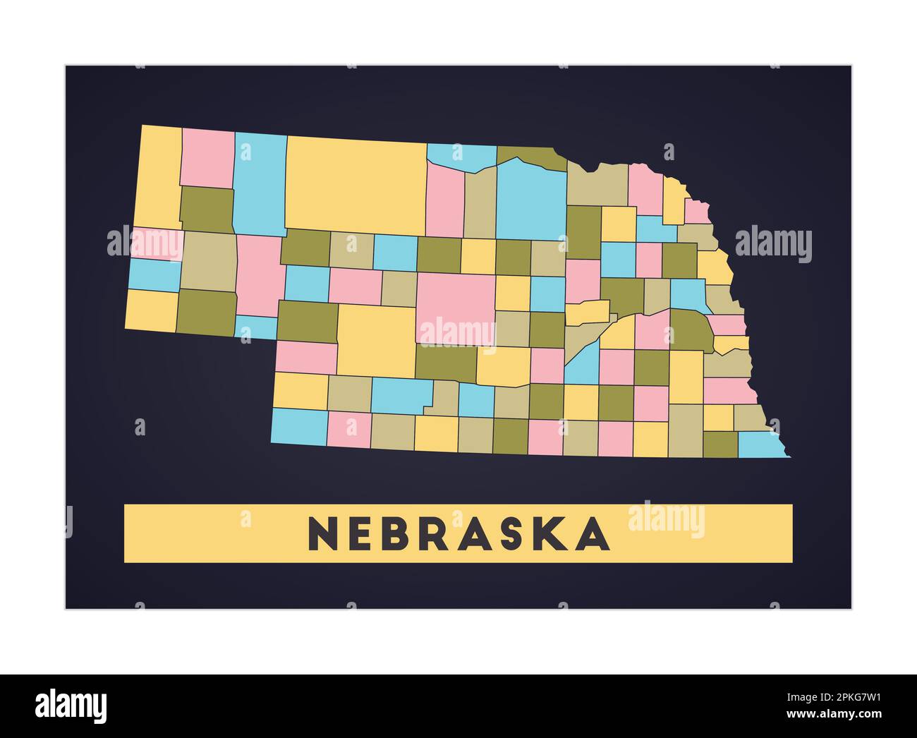
Nebraska is located in the Midwestern United States, specifically within the West North Central division as defined by the U.S. Census Bureau. Geographically, it occupies a central position in the Great Plains, a vast region of prairie and flatland extending between the Mississippi River and the Rocky Mountains.
To understand Nebraska's regional placement, one must look beyond a single label. While "The Midwest" is the most common political and statistical classification, the state’s identity is equally defined by its role in the Great Plains, its historical status as a gateway to the West, and its environmental transition from the humid eastern prairies to the semi-arid high plains.
The U.S. Census Bureau Classification: The Midwest
The most authoritative answer to "what region is Nebraska in" comes from the United States Census Bureau. For the purposes of data collection, economic reporting, and federal organization, the Census Bureau divides the country into four major regions: the Northeast, the Midwest, the South, and the West.
Nebraska is one of the 12 states that make up the Midwest Region. Within this region, the Census Bureau further subdivides the states into two divisions:
- East North Central: Illinois, Indiana, Michigan, Ohio, and Wisconsin.
- West North Central: Iowa, Kansas, Minnesota, Missouri, Nebraska, North Dakota, and South Dakota.
Nebraska’s inclusion in the West North Central division highlights its shared economic and demographic characteristics with its immediate neighbors. These states are historically linked by their dependence on large-scale agriculture, a settlement history driven by the Homestead Act, and a population distribution that includes both major metropolitan hubs and vast, sparsely populated rural areas.
In 2026, these classifications remain the standard for federal funding allocations and statistical analysis. When a government report mentions "Midwestern trends," Nebraska is inherently part of that conversation.
The Great Plains: A Geographic and Environmental Identity
While the "Midwest" is a political and cultural construct, the Great Plains is a physiographic region. Nebraska is situated almost entirely within this area. The Great Plains are characterized by a lack of trees, relatively low rainfall, and a flat to rolling landscape that gradually increases in elevation from east to west.
The 100th Meridian
Nebraska is bisected by the 100th Meridian west, a longitudinal line that historically served as a symbolic and climatic boundary. East of this line, the climate is typically humid enough to support traditional row-crop farming without intensive irrigation. West of this line, the climate becomes semi-arid, requiring different agricultural techniques or a reliance on ranching.
Because Nebraska spans this meridian, it serves as a "transition state." The eastern third of the state, including Omaha and Lincoln, feels very much like the "Central" Midwest, sharing characteristics with Iowa and Missouri. The western two-thirds of the state, particularly the Panhandle, lean more into the "High Plains" identity, sharing more in common with Wyoming and Colorado.
The Sandhills
A unique feature of Nebraska’s Great Plains region is the Sandhills. This is a massive area in the north-central part of the state consisting of grass-stabilized sand dunes. It is the largest sand dune formation in the Western Hemisphere and sits atop the Ogallala Aquifer. This geological feature makes Nebraska a critical part of the region's environmental health, as the aquifer provides essential groundwater for multiple states in the central U.S.
The Heartland and Economic Regionalism
In broader cultural and economic terms, Nebraska is often referred to as being in the Heartland. This term is less formal than the Census Bureau’s "Midwest" but is widely used in media and political discourse to describe the central states that are perceived as representing traditional American values and a stable, agricultural-based economy.
USDA Farm Resource Regions
The United States Department of Agriculture (USDA) classifies Nebraska primarily within the Heartland and Great Plains resource regions.
- The Heartland Region: Includes eastern Nebraska and focuses on corn, soybeans, and hogs.
- The Prairie Gateway: Includes western Nebraska and focuses on cattle, wheat, and sorghum.
These economic regions are vital for understanding Nebraska's role in global trade. As of 2026, Nebraska continues to be a top producer of beef and corn, making it a central pillar of the North American food supply chain. Its location in the "middle" of the continent also makes it a logistics hub, with major rail lines and Interstate 80 serving as the "main street" of transcontinental shipping.
Historical Context: From the "Great American Desert" to the Frontier
Nebraska's regional identity has evolved significantly since the early 19th century. After the Louisiana Purchase of 1803, early explorers like Stephen H. Long described the region as the "Great American Desert." They believed the lack of timber and surface water made it unfit for cultivation.
However, as the 19th century progressed, Nebraska became the "Gateway to the West." The Oregon Trail, the Mormon Trail, and the California Trail all passed through the Platte River Valley. This history places Nebraska in the Frontier Region of the 1800s. While it eventually settled into a "Midwestern" classification as it became more developed, the state still retains a "Western" spirit, particularly in its rodeo traditions and ranching culture in the west.
Comparing Nebraska’s Regional Designations
To provide a clearer picture of how different organizations classify the state, the following table breaks down Nebraska's regional placement by category:
| Classification System | Regional Name | Primary Focus |
|---|---|---|
| U.S. Census Bureau | Midwest (West North Central) | Population, demographics, and federal statistics. |
| Geographic/Physiographic | Great Plains / High Plains | Terrain, climate, and geological features. |
| Bureau of Economic Analysis | Plains Region | Economic output, income, and employment data. |
| Cultural/Vernacular | The Heartland | Social identity, values, and central location. |
| USDA Resource Regions | Heartland & Prairie Gateway | Agricultural production and land usage. |
| Environmental | Central Flyway | Wildlife migration and ecological protection. |
The Cultural Split: East vs. West
When discussing what region Nebraska is in, it is important to acknowledge that the state itself is split between two cultural identities.
The Eastern "Midwest"
The eastern edge of Nebraska, anchored by Omaha and Lincoln, is densely populated and deeply integrated into the Midwestern urban corridor. This area features a diversified economy including insurance, financial services, and a growing tech sector often dubbed the "Silicon Prairie." Culturally, this region shares the sensibilities of Midwestern cities like Des Moines, Kansas City, or Minneapolis.
The Western "High Plains"
Moving west toward the Nebraska Panhandle, the landscape and culture shift. The elevation rises toward the foothills of the Rocky Mountains. Cities like Scottsbluff and Chadron are more closely aligned with the "Old West." Here, the region is defined by rugged buttes, large cattle ranches, and a semi-arid climate. To residents in this part of the state, Nebraska is firmly a "Western" state.
Neighboring States and Border Definitions
Nebraska’s central location means it is surrounded by states that represent various other regional labels. Its borders help define its own regionality:
- North: South Dakota (Great Plains/Midwest).
- East: Iowa and Missouri (Midwest/Heartland).
- South: Kansas (Great Plains/Midwest).
- West: Wyoming and Colorado (Mountain West/High Plains).
The Missouri River forms the entirety of Nebraska's eastern boundary, acting as a natural geographic separator between Nebraska and its neighbors to the east. This river has historically been the dividing line between the "settled" East and the "wild" West.
Regional Connectivity in 2026
In 2026, Nebraska’s regional status is increasingly defined by its connectivity. Being in the "middle" is no longer just a geographic fact; it is a strategic advantage. The state is a primary node in the Mid-Continental Corridor, facilitating the movement of goods and energy across North America.
From an infrastructure perspective, Nebraska is part of the Western Interconnection for the electric grid (in some western portions) and the Eastern Interconnection for the majority of the state. This dual-presence in critical national systems reinforces the idea that Nebraska is the "bridge" between the eastern and western halves of the United States.
Frequently Asked Questions
Is Nebraska considered a "Western" state?
While Nebraska is officially classified as a Midwestern state by the U.S. Census Bureau, its western portion (the Panhandle) shares many geographic and cultural traits with the West, including higher elevations, ranching culture, and a semi-arid climate. Most residents consider the state to be where the Midwest meets the West.
Why is Nebraska called part of the "Corn Belt"?
Nebraska is part of the Corn Belt, an informal region in the Midwest where corn has traditionally been the dominant crop. This region stretches from Ohio to eastern Nebraska. The state’s nickname, the "Cornhusker State," reflects its deep roots in this agricultural region.
How does the 100th Meridian affect Nebraska's region?
The 100th Meridian is a line of longitude that roughly marks the transition from the humid climate of the Eastern U.S. to the arid climate of the West. It passes through central Nebraska. This means the state contains two distinct environmental regions within its borders: the humid prairies in the east and the dry High Plains in the west.
What is the "Silicon Prairie"?
The Silicon Prairie is a nickname for the Midwest's growing technology sector. Nebraska, particularly the Omaha-Lincoln-Council Bluffs corridor, is a major part of this "region" within a region, attracting tech startups and large data centers due to its central location and lower cost of living compared to the West Coast.
Is Nebraska in the same region as Texas or Oklahoma?
According to the Census Bureau, no. Texas and Oklahoma are in the South region. However, geographically, all three states are part of the Great Plains. In environmental or agricultural contexts, they are often grouped together as part of the nation’s central "prairie" corridor.
Practical Recommendation: Navigating Nebraska's Regions
If you are planning a move, a business expansion, or a trip to Nebraska in 2026, it is vital to recognize which "sub-region" of the state suits your needs. For those seeking urban amenities and a traditional Midwestern feel, the Eastern Nebraska (Midwest) corridor is ideal. If you are looking for vast landscapes, ranching opportunities, or a Western "frontier" experience, the Western Panhandle (Great Plains/High Plains) is the appropriate destination.
Understanding that Nebraska is in the Midwest for legal and statistical purposes—but is geographically the heart of the Great Plains—provides the most accurate perspective on its place in the American landscape.
Image Gallery
Select an image to open it in a new tab.
Omar Farooq
EdTech Innovation and Virtual Pedagogy Journalist
