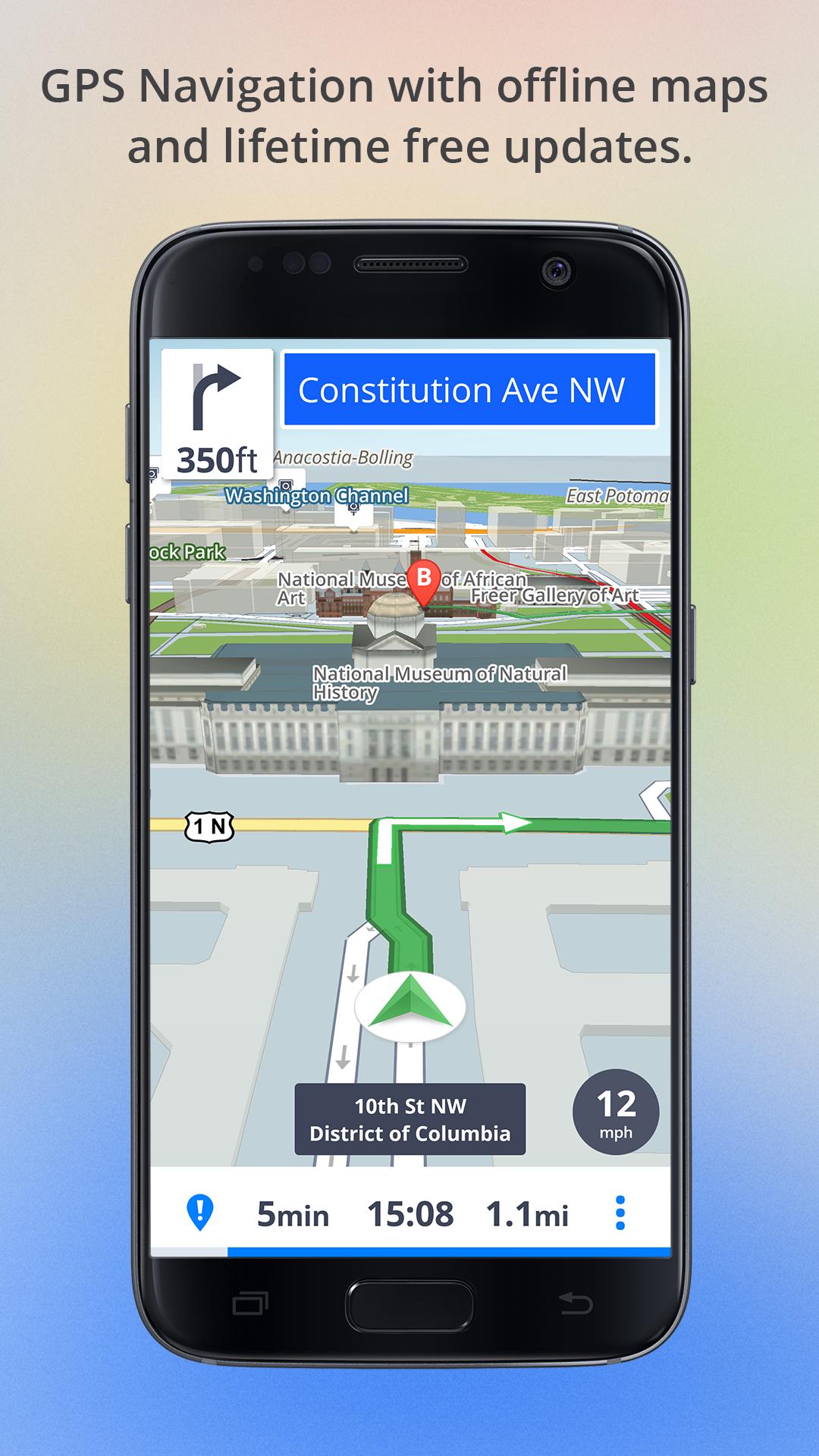
All-in-one offline maps provide comprehensive navigation, topographic data, and point-of-interest searching without requiring cellular or satellite data connectivity. By downloading map tiles to local storage, these applications enable travelers to maintain precise geolocation tracking, route planning, and terrain analysis in remote regions where network infrastructure is absent or unreliable.
Understanding the Technical Foundation of Offline Mapping
At its core, offline mapping relies on the principle of local caching. When you are connected to the internet, you request visual tiles—small, square images that form the map—from a server. When a map application is designed for "all-in-one" offline use, it allows the user to pre-fetch these tiles for a specific geographic bounding box and store them directly on the device’s flash memory.
However, modern offline navigation goes beyond mere image tiles. Effective systems integrate three distinct layers: the raster layer (visual map), the vector layer (road and trail labels, points of interest), and the digital elevation model (DEM). The DEM is critical for unconnected travel, as it calculates slopes, ridge lines, and valleys, providing the data necessary for contour lines and 3D terrain visualization. When all these layers are consolidated into a single application, the software acts as a standalone Geographical Information System (GIS) engine, performing complex pathfinding calculations—like "snap-to-trail" or "shortest path to waypoint"—entirely on your device's processor rather than a remote cloud server.
Prerequisites for Reliable Offline Navigation
Reliability in the backcountry or in low-connectivity zones is not merely a matter of software, but a chain of technical requirements. Before departing, you must address the following:
- Storage Capacity: Offline map files are data-heavy. A high-resolution, multi-layer map of a national park can range from 500MB to several gigabytes. Ensure your device has sufficient free space and that your file system supports large file transfers.
- Battery Management: Calculating routes offline places a higher load on your device's CPU and GPS chipset than simple streaming. Carry a portable power bank, as GPS activity is the single largest consumer of power in modern mobile devices.
- GPS Signal Acquisition: While you do not need a cellular connection for the map to display, you do need a clear line of sight to global navigation satellite systems (GNSS). Test your device’s "cold start" time—the time it takes to lock onto a signal—in an open area before you lose access to assisted-GPS (A-GPS), which usually relies on cell towers to speed up the initial lock.
Evaluating All-in-One Navigation Solutions
Not all map applications are created equal. When selecting a tool for unconnected travel, prioritize applications that support multiple data formats and offline routing protocols.
| Feature | Basic Map App | Professional Offline GIS Tool |
|---|---|---|
| Offline Routing | Limited to major roads | Full topographical pathfinding |
| Data Sources | Single provider | Multi-source (OpenStreetMap, USGS) |
| Map Layers | Static images only | Customizable overlays (slope, forest) |
| Battery Impact | Moderate | High (optimized for continuous use) |
| Cloud Sync | Essential | Optional (local-first approach) |
Professional-grade solutions often allow for the importation of GPX (GPS Exchange Format) files. This is vital because you can plan your route on a desktop computer using a large monitor, export the GPX track, and import it into your mobile application to serve as a persistent "breadcrumb" trail during your travels.
Managing Map Data and Cache Limits
One of the most common mistakes users make is failing to define the "zoom level" correctly when downloading maps. Mapping applications often allow you to download tiles up to a certain zoom level (e.g., 12 to 18). Higher zoom levels offer more detail (essential for spotting trail forks) but increase the file size exponentially.
If you download an entire state or province, you may find that the software is too sluggish to render the data effectively. Instead, employ a "layered" download strategy. Download high-detail (zoom 16-18) tiles for your specific route, and lower-detail (zoom 10-12) tiles for the surrounding 50-mile radius. This provides context for emergency detours without overwhelming your device's memory. Always verify that your chosen application allows for "offline searching"—many apps will show you the map but fail to find the address or mountain peak name because that lookup table was not included in the offline package.
Troubleshooting Common Connectivity Failures
Even the most robust offline maps can encounter issues in the field. When your position appears to jump or the map fails to load, consider these troubleshooting steps:
- GNSS Interference: Dense tree cover or deep canyons can reflect satellite signals, causing a "multipath error." If your location seems wildly inaccurate, find a clearing and force the app to refresh its satellite lock.
- Tile Corruption: If you see "gray tiles" or missing sections of the map, the cache file may be corrupted. Before your trip, always toggle your device into "Airplane Mode" and simulate your route to confirm all necessary tiles were successfully downloaded.
- Vector Rendering Errors: If the app struggles to render, it may be due to a conflict between the map projection and the hardware's compass. Ensure your device’s compass is calibrated via the system settings, as this is separate from the GPS coordinates.
Safety and Legal Considerations in Remote Navigation
When relying on offline tools for safety-critical navigation, never treat digital maps as a replacement for fundamental land-navigation skills. Electronics can fail due to extreme temperature, screen breakage, or water ingress.
Furthermore, ensure your mapping data complies with local access regulations. In many wilderness areas, trails shown on public-interest maps like OpenStreetMap may be closed for restoration or wildlife protection. Always cross-reference your digital route with official government ranger stations or published land management maps. If you are crossing international borders, be aware that some countries have strict laws regarding the possession of high-precision topographic data. Check the customs regulations of your destination if you are carrying specialized mapping hardware.
Frequently Asked Questions
Does offline navigation drain the battery faster than online navigation? Yes, it can. Because the device is doing all the heavy lifting—calculating routes, projecting topography, and rendering high-resolution imagery—rather than downloading pre-rendered images from a cloud server, the local processor is constantly active.
Can I use my current phone for offline navigation if it doesn't have a SIM card? Absolutely. The cellular radio and the GPS receiver are separate components. You can use a phone without a SIM card as a dedicated GPS unit, provided you have downloaded the maps while on a Wi-Fi connection.
What is the best format for importing planned routes into my map app? The GPX format is the industry standard. It contains the latitude, longitude, and elevation of each point in your planned route. Almost every major offline mapping application supports the import and display of GPX tracks.
Is there a way to verify my maps before I leave civilization? Yes. Use the "Airplane Mode" test. Once you have finished downloading all your required map regions, switch your device to Airplane Mode, restart the application, and zoom into your intended route to ensure every tile displays correctly.
Why does my map look blurry when I zoom in? This is usually because the "zoom level" downloaded for that area was too low. Most apps require you to select the level of detail (e.g., 1:24,000 scale) before initiating the download. If you download a wide area at a low zoom level, you cannot "zoom in" to see more detail; you must re-download that specific area at a higher zoom level.
Next Steps for Prepared Travelers
Begin by auditing the specific region of your upcoming travel. Use a desktop-based map planning tool to identify the total area of interest and estimate the storage requirements. Once you have identified a reliable offline mapping application, perform a "dry run" by downloading a small test map of your local area. Put your device in Airplane Mode and walk your intended route to ensure the GPS track matches the trail paths you see on the screen. Finally, always carry a physical paper map and a magnetic compass as a redundant navigation system to ensure you can reach safety should your electronic device suffer a hardware failure.
Image Gallery
Select an image to open it in a new tab.
Mateo Castillo
Decentralized Finance and E-Payments Strategist
